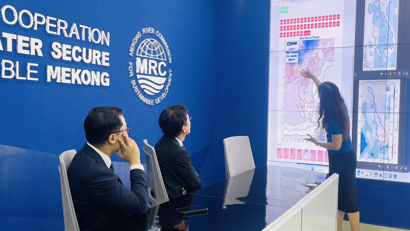

Mekong river monitoring and forecasting
Our Mission
Promote and coordinate sustainable management and development of water and related resources for the mutual benefits of the lower Mekong countries and the people's well-being.
Our Topics
The MRC supports a basin-wide planning process based on principles of Integrated Water Resources Management (IWRM). We provide a wide array of advisory and technical assistance to help the lower Mekong countries promote sustainability in major areas of development.


Our Functions
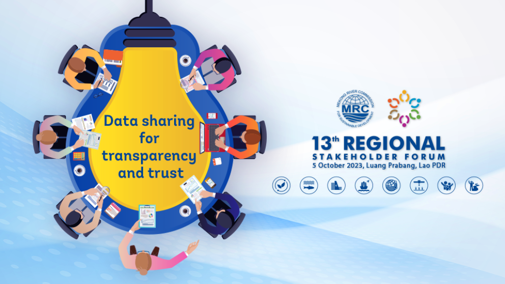
The MRC Functions are designed to help the lower Mekong countries build consensus around solutions that ensure a sustainable future for the Mekong and its people through basin monitoring, assessment, data and information sharing, and dialogue and cooperation.


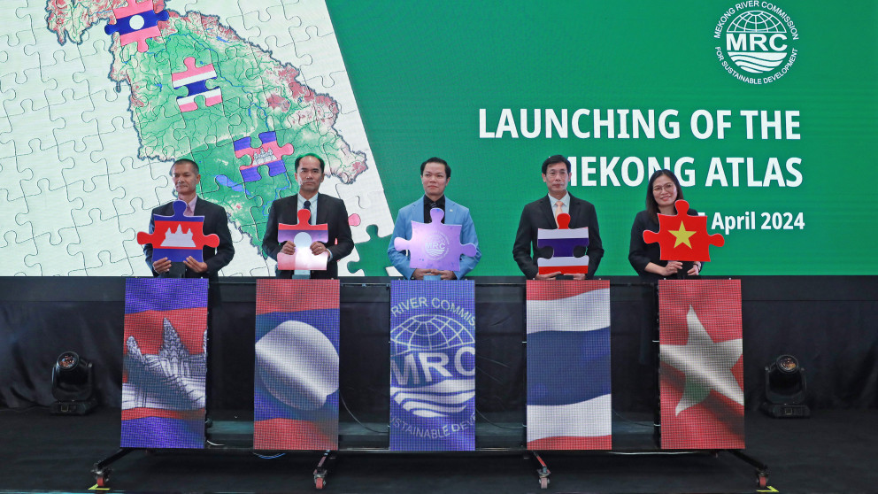
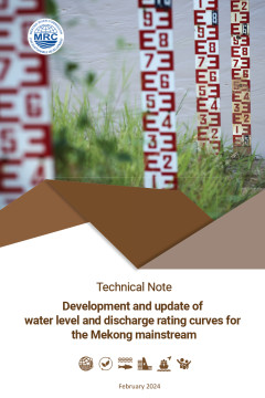
Publications
The MRC provides scientific analysis and advice for the lower Mekong countries and various stakeholders and interested parties to sustainably manage and develop the Lower Mekong River Basin.
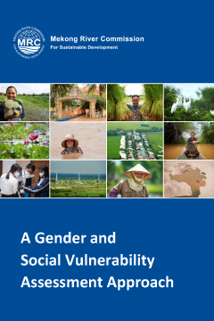
Explore our data-rich research, analysis, toolkits, guidelines and other resources on water resources management and development topics.
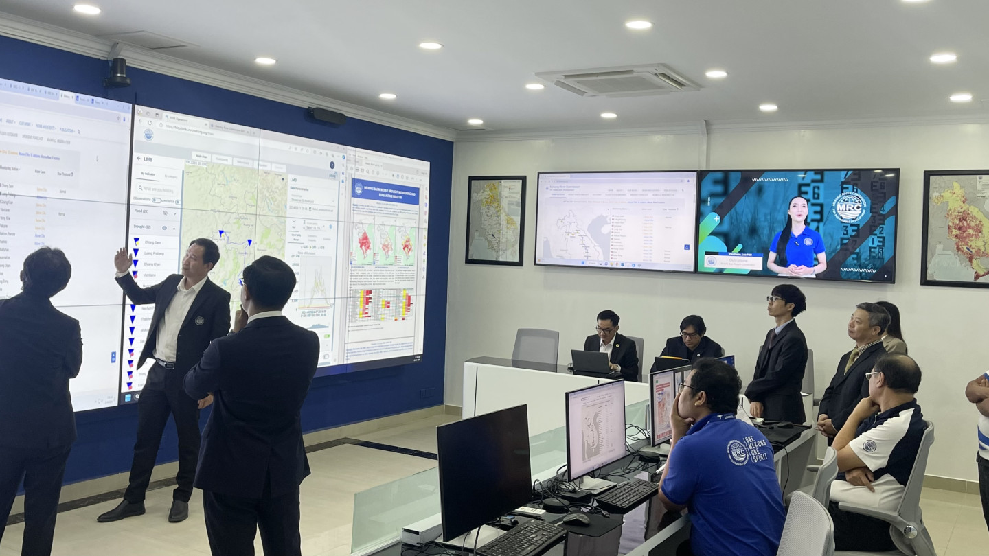
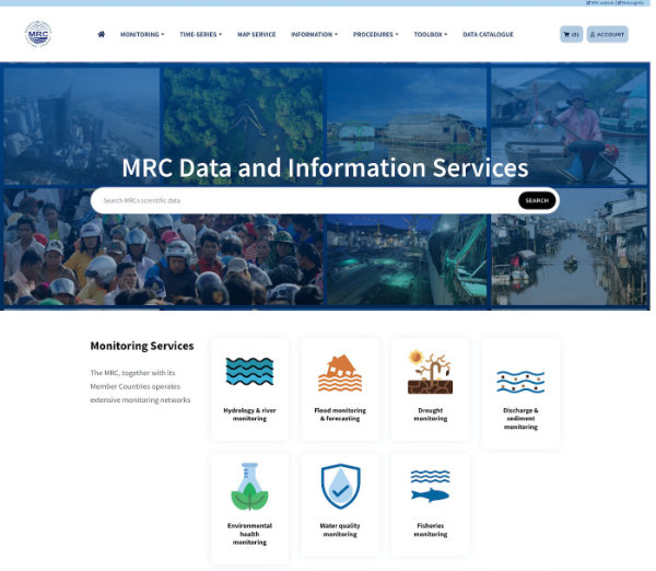
Data & Information
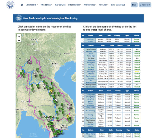
Data and information are key to sustainable water resources management. The MRC has a long history of data collection and analysis about the heath and conditions of the Mekong River, with some data over 100 years. The interactive dashboards assemble and visualise more than 10,000 datasets covering historic and current assessment covering hydrology, sediment, water quality, fisheries, ecological health, climate change, and flood and drought.
Social Media
Stay updated with the MRC news, data, publications, events and opportunities, and get involved in our consultations. We’d love to hear from you.
Connect with us
Did You Know❓
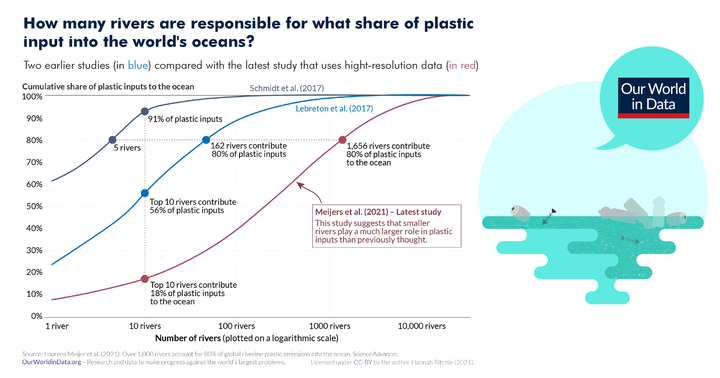
While previous studies suggested that most plastics come from only a few of the world’s rivers including the Mekong, latest research…
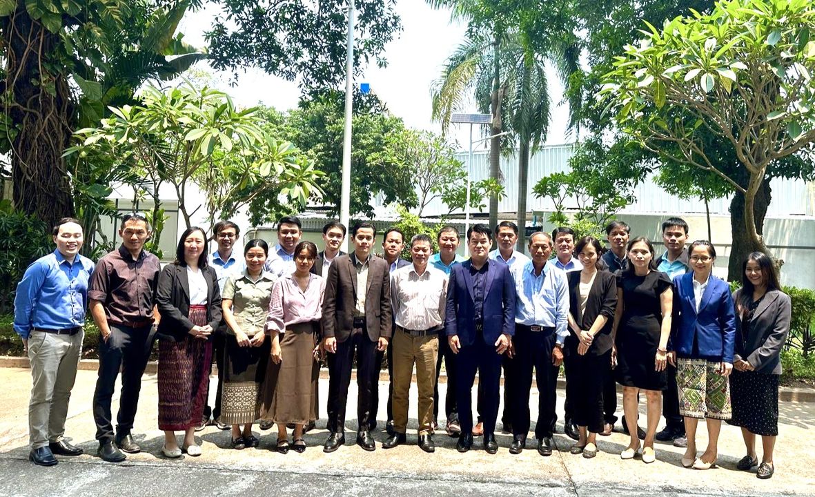
The regional workshop held on 5 April 2024 in Vientiane, Lao PDR, focused on finalizing the report for the capacity needs assessment and capacity…
Read on Facebook
CEO Anoulak Kittikhoun received a visit from Ms. Michelle Chan, Deputy Secretary for South and Southeast Asia and Head of the Office of Southeast…
Read on Facebook