MRC and Japan wraps up ‘Space Application for Environment’ Prototype Initiative
The Lower Mekong Basin is at greater risk to climate change with extreme weather events such as typhoons and heat waves and is also more vulnerable to floods and droughts that can affect people’s livelihoods and reduce agricultural productivity, especially in the downstream catchments of the Mekong River. While future impact of climate change is difficult to forecast, projections for the Mekong River Basin, like flood and drought forecasting, is paramount.
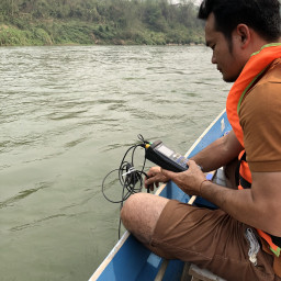
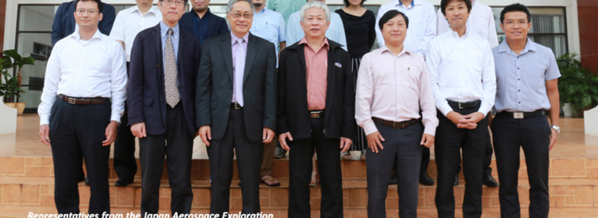
In 2015, the Mekong River Commission (MRC) and Japan Aerospace Exploration Agency’s (JAXA) Earth Observation Research Center (EORC) partnered in a joint initiative that deployed satellite and space technologies to estimate rainfall, soil moisture and groundwater recharge. These tools and data would support decision-making on transboundary catchments in the Lower Mekong Basin, and can be further applied in various technical programs of the MRC.
The SAFE (Space Application for Environment) prototype project in conjunction with MRC’s Integrated Knowledge Management Programme, was tasked to examine, research and make recommendations about deploying the Global Satellite Mapping of Precipitation (GSMaP) as a means for quantitative rainfall estimation with proper correction methods for areas in the Lower Mekong Basin. The project also introduced the Soil and Water Assessment Tool (SWAT) to estimate soil moisture and groundwater recharge and verified the estimated soil moisture data by comparing it with other data and other measuring methods. The project originally identified three catchment areas where data was lacking but later changed to focus on one large area stretching between Chiang Saen to Luang Prabang (due to MRC restructuring).
 “The SAFE prototype has been introduced at the right time when data was most needed, and has been quite successful at providing the much-needed data and enhancing the information we already had on hand to build up our knowledge base” said Dr Pham Tuan Phan, MRC Chief Executive Officer.
The SAFE prototype project recently wrapped up after a workshop and training session in Vientiane on 19-21 July 2017.
The closure meeting heard about results and achievements of the SAFE project, including technical details and outcomes of the research. There were also hands-on training exercises carried out, where participants from the MRC Secretariat, the Remote Sensing Technology Center of Japan, International Center for Water Hazard and Risk Management, National Research Institute for Earth Science and Disaster Resilience (Japan) and other organizations were shown how to measure GSMaP rainfall adjustments by using rain gauge data and another where they learned about GSMaP data conversion for SWAT modelling.
The meeting proved to be a productive forum where participants could discuss future technical cooperation between MRC and JAXA that would lead to improved flood forecasting, drought monitoring, and flood risk reduction.